EASA-Certified
·
500+ Projects
·
2-Day Turnaround
KERRY & MUNSTER

Drone Survey Services in Kerry

Professional drone surveying, mapping, inspections, and monitoring across County Kerry. We’ve delivered projects from the iHabiMap coastal habitat survey in the Maharees to solar farm planning outside Tralee, with full Kerry CTR coordination where required.

Munster Coverage
Kerry Airport (EIKY, Farranfore) Authorised
48hr Response
EASA & IAA
Certified Operators
€6.5M
Public Liability Insurance
500+
Projects Nationwide
Since 2016
Ireland’s Longest-Serving
2-Day
Turnaround on Deliverables

Services Available in Kerry

Complete drone survey and inspection services across Kerry city, county, and the wider Munster region.

Surveying & Mapping

High-accuracy orthomosaics, elevation models, and topographic maps for Kerry’s diverse terrain.

Learn More

LiDAR Surveys

Dense point cloud data ideal for Kerry’s forestry, agricultural land, and coastal terrain analysis.

Learn More

Construction Monitoring

Scheduled aerial progress capture and earthworks volumetrics for Kerry development projects.

Learn More

Building Inspections

Detailed facade, roof, and chimney inspections for Kerry’s commercial and heritage buildings.

Learn More

Thermal Imaging

Identify heat loss, damp, and insulation defects across commercial and residential properties.

Learn More

Bridge Inspections

Safe under-deck and structural assessments for bridges across Kerry’s road network and river crossings.

Learn More
Kerry Airspace

Navigating Kerry’s Airspace Regulations

Almost all of Kerry sits inside the Kerry CTR, so any drone flight in the Specific category — and many Open category jobs — need direct coordination with Kerry Airport (EIKY, Farranfore) ATC. We’ve held the necessary permissions and run through that coordination process many times, including the iHabiMap habitat mapping project in the Maharees during the Covid period and solar farm planning work outside Tralee for AboveSurveying. Every site is assessed for airspace, notices to airmen, and landing permissions before anyone leaves the office.

View Interactive Airspace Map
We handle all airspace permissions for you – included in every project
Kerry Airport (EIKY, Farranfore) ATC
Controlled airspace surrounding Kerry Airport (EIKY, Farranfore) restricts drone operations. We coordinate directly with the IAA for flights within this zone.
IAA Requirements
All Kerry operations comply fully with EASA regulations and IAA-specific requirements for Open and Specific categories.
Restricted Zones
Tralee Bay, naval facilities, and sensitive infrastructure areas require advance authorisation, which we arrange as part of every project.

Areas We Serve in Kerry

Full coverage across Kerry city, county, and the wider Munster region. From the harbour to the mountains, we have you covered.

Tralee
Killarney
Dingle
Listowel
Kenmare
Castleisland
Killorglin
Cahersiveen
Kilgarvan
Ballybunion
Milltown
Sneem
Local Advantage

Why Local Expertise Matters in Kerry

Kerry’s landscape — from the Maharees dune system and Dingle Peninsula to the Reeks and the Iveragh — demands operators who understand coastal weather windows, Kerry CTR airspace, and the logistics of remote sites. We’ve delivered environmental monitoring on the iHabiMap research project in the Maharees, solar farm planning work outside Tralee, and a range of topographic survey and asset inspection jobs across the county.

Rapid Deployment
On-site across County Kerry within 24–48 hours. Urgent same-day mobilisation available for critical projects.
Kerry Airspace Expertise
Familiar with Kerry Airport (EIKY, Farranfore) ATC boundaries, harbour restrictions, and coastal flight considerations. No guesswork or delays.
Competitive Local Pricing
No inflated travel costs from Dublin-based operators. You pay for the survey work, not hours of motorway driving.
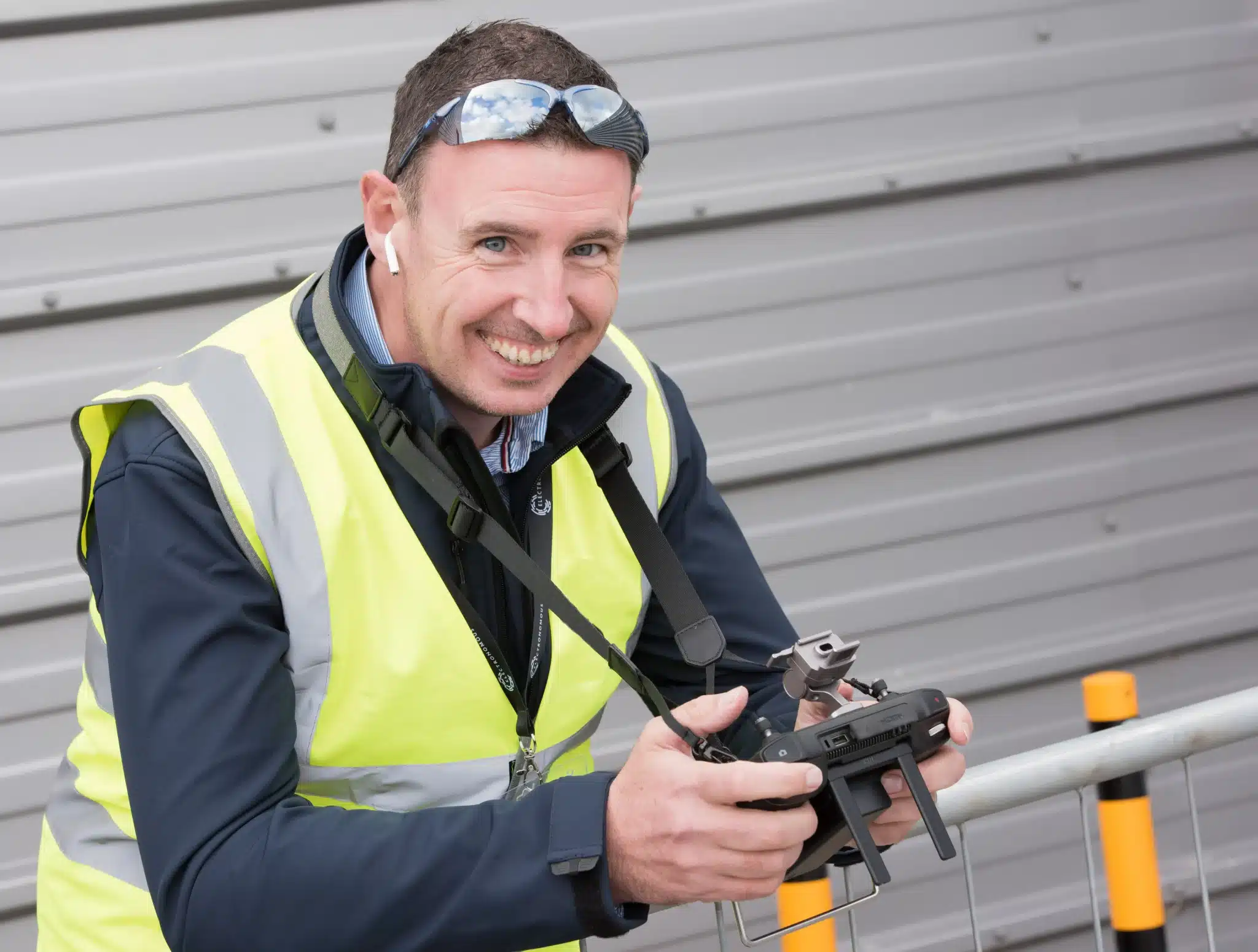
Drone pilot Fergal McCarthy operating UAV survey equipment, Ireland

Frequently Asked Questions

Common questions about drone survey services in the Kerry area.

Yes. Kerry Airport (EIKY, Farranfore) has an ATC that restricts drone flights, but we hold the necessary permissions and coordinate directly with the IAA and airport authority. Many Kerry locations outside the ATC can be flown without additional coordination. We assess every site and handle all permissions on your behalf.
Absolutely. We serve all of County Kerry, from Youghal in the east to Clonakilty and beyond in the west. We also cover the wider Munster region including Kerry, Waterford, Limerick, Tipperary, and Clare.
We can typically mobilise to Kerry sites within 24–48 hours of booking confirmation. For urgent requirements, same-day deployment is often possible. We maintain equipment and personnel ready for rapid response across Munster.
Yes, we regularly conduct coastal surveys along Kerry’s extensive coastline, including cliff inspections, erosion monitoring, and coastal mapping. We hold the appropriate permissions for maritime-adjacent operations and coordinate with harbour authorities where required.
Pricing depends on site area, deliverables, and complexity. Typical surveys start from €450 for smaller sites. We provide fixed-price quotes within 24 hours with no hidden costs. Send us your site details for a free, no-obligation estimate.

Request a 24-Hour Quote

Tell us about your project and we’ll respond within 24 hours with a detailed quote.

Free quote within 24 hours
No obligation, no hidden costs
EASA & IAA certified operators
Or call us now: 087 205 2331

Get a Fixed-Price Quote Within 24 Hours

No obligation, no hidden costs. Tell us about your site and we will come back with a methodology and price.

Fixed pricing, no surprises
We handle all permissions
Deliverables in 2 days
Call Now Get a Quote