Drone Equipment and capability
Our Drone Equipment - What we use day to day
We use drone equipment and sensors from leading manufacturers worldwide.
Buying a drone is only the start of the journey. Providing your clients with what they need requires time and effort to research drone growth and potential. What do clients need? What sensors can deliver that for them? Which drone can carry that sensor?
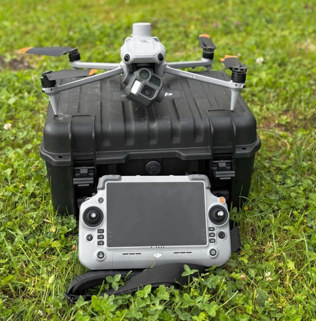
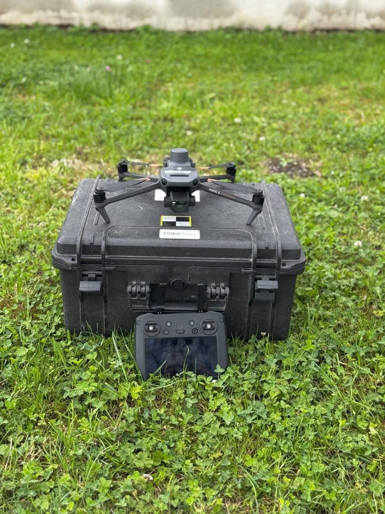
We have spent years building up an industry-leading fleet of drone equipment, complemented by the top-rated sensors on the market. Manufacturers such as DJI, Micasense, UGCS, Topodrone, and Emlid provide the equipment we use daily. UGCS is the leading mission-planning and execution software for autonomous flight.
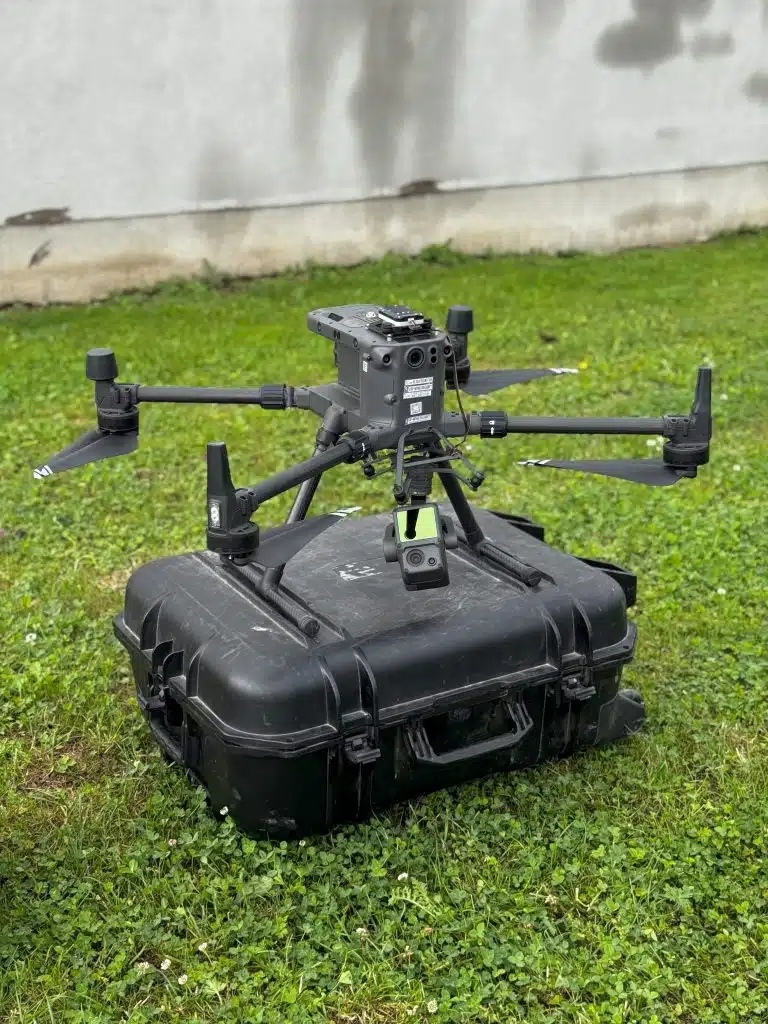
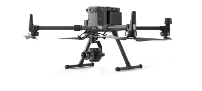
We have recently adopted the DJI M300 RTK as the backbone of our business. We have invested in multiple airframes and batteries, giving us the flexibility to complete the bigger, more complex operations. This allows us to standardise our drone equipment, having more of the same type of batteries and redundant airframes in the event of maintenance or service outages.
Regular maintenance, outside of pre- and post-flight checks, is essential to ensuring safe operations and continuing to build our reputation within the drone industry. We have procedures in place as part of our standard operations, and adhering to them is key to success in the commercial drone industry.
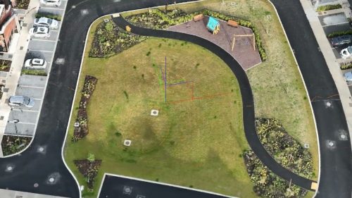
Processing the data requires considerable computing power and substantial storage. This is often overlooked by operators entering into the commercial drone industry. Software licenses can run from hundreds to tens of thousands for specialised software. Drone datasets can quickly reach the 100s of Gigabytes of raw data, which must be stored, processed, and managed for the client.
Drawing on our IT background, we have custom-built multiple workstation PCs and maintain 100 terabytes of on-site network storage.
Due to changes in drone regulations, we, as Specific Category Operators, are required to utilise Flight Termination Systems and Parachutes on our drones as a risk-mitigation measure. All Specific Category Operators should use these methods on their drones as standard.
