Drone Research Projects & Applications
- Capture comprehensive data using RGB, thermal, LiDAR, and multispectral sensors.
- Pioneering new drone applications in Ireland and worldwide.
- Collaborate with institutions for drone research and development.


Drone Data Capture and Applications
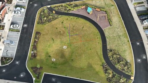
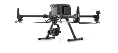
Part of what we do is flying drones, using various sensors to capture data. Drones are data capturing machines; they generate vast amounts of data in a short space of time. We help companies and institutions understand drone technology and how it can help them.
Standard sensors available for drone on the market are:
- RGB Camera
- Thermal Imaging Camera
- LiDAR
- Multispectral sensors, commonly used in Agriculture
- Gas Sensors
We are passionate about drone technology and the possible future uses. We are keen to assist with new use cases. We are working on numerous projects, some of which are the first use of the technology in Ireland, some in the world. Ireland is well placed to be at the forefront of drone technology advancements, and we want to help get it there.
If you are interested in finding out about the feasibility of a solution, talk to us. We do what we can to leverage existing technology, and develop new ones to give you the answer you need.
If you are part of an educational institution, we are keen to help. We have worked with others in the past, and we use this experience to help you.


