Ireland's Most Experienced Commercial Drone Operators
EASA and IAA certified drone operators delivering survey-grade results in 2 working days or less. Trusted by over 500 Irish businesses since 2016.
- Survey-grade drone mapping with RTK/PPK Positioning
- LiDAR surveys penetrate vegetation to bare-earth DTMs
- Building, roof and chimney inspections from high-resolution aerial imagery
- Construction monitoring with 3D progress models and volumetrics
- Telecoms tower and mast inspections for engineering firms
- Operating since 2016 with full EASA and IAA Specific Category authorisation
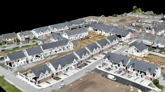
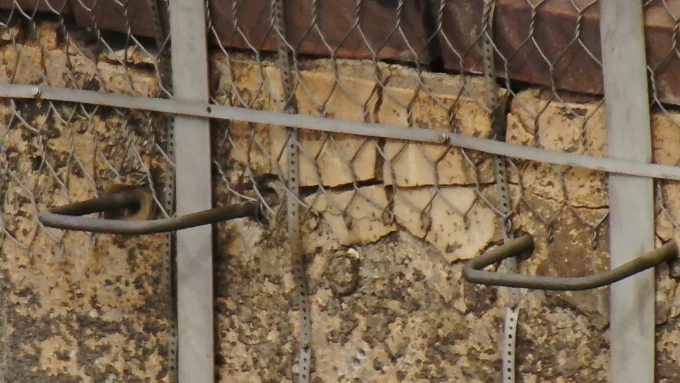
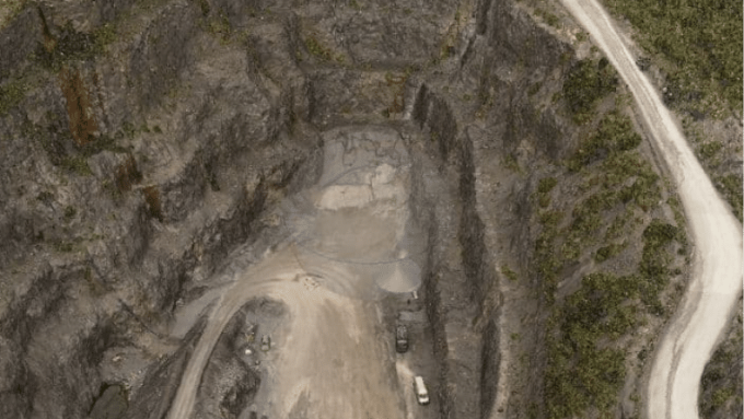
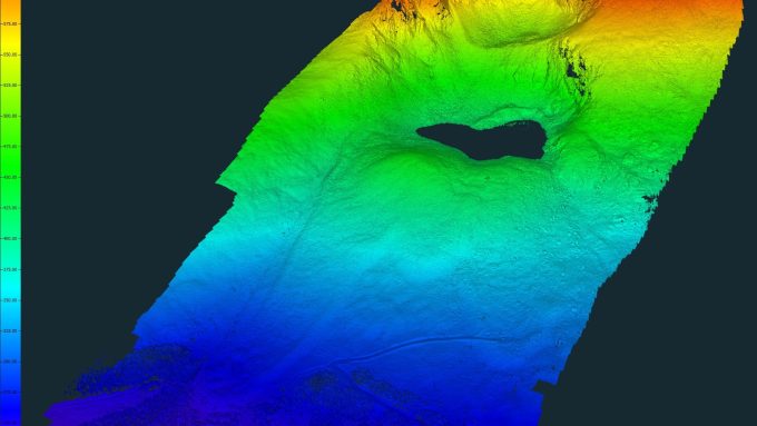
We specialise in complex, high-value drone surveys for engineers, construction professionals, and renewable energy teams.

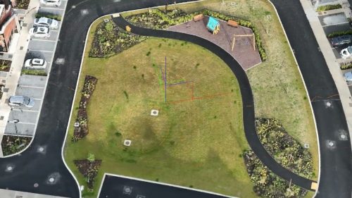
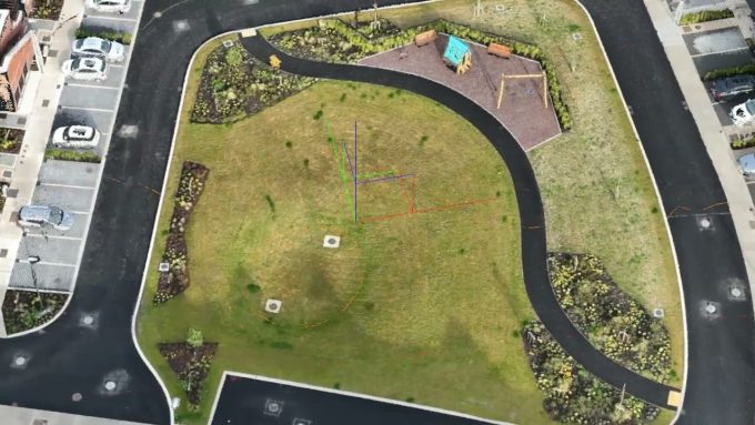
Orthomosaics, contour maps, and DTMs delivered within 2 working days at survey-grade accuracy.

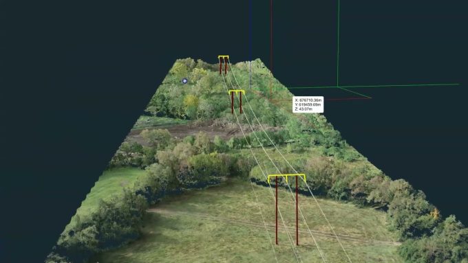
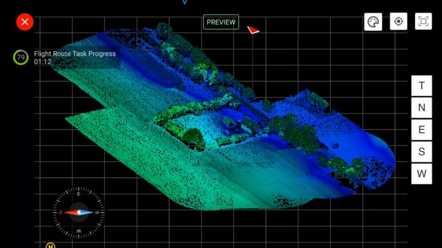
Zenmuse L2 LiDAR penetrating canopy to deliver bare-earth DTMs with 5 cm vertical accuracy.

Scheduled site captures producing 3D progress models, volumetrics, and stakeholder reports.

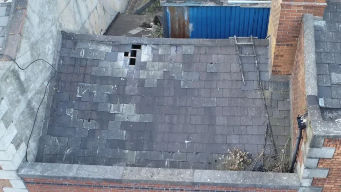
High-resolution imagery identifying slate damage, flashing failures, and structural defects without scaffolding.
What Our Clients Say About Drone Services Ireland


Drone Survey and Aerial Mapping
Our drone surveying and aerial mapping services provide survey-grade results quickly and cost-effectively.
More about Drone Surveying →

Drones in Construction
Enhance on-site efficiency and safety through regular drone surveys that measure and assess progress and outcomes. Faster, Safety Surveys and Inspections
Drones in Construction Benefits →
Drone LiDAR Surveys
Drone LiDAR surveys penetrate vegetation and tree canopies to deliver bare-earth DTM survey deliverables.
Drone LiDAR Efficiency →

Drones Roof Inspection
Enhance building and roof inspection processes using high-resolution aerial imagery for quick and accurate damage assessment.
Safe and Fast Drone Roof Inspections →
The Clients we work with
2026 Drone Flights - The year by numbers so far
Explore our Drone Services
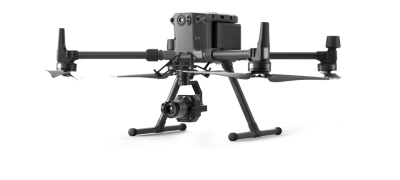
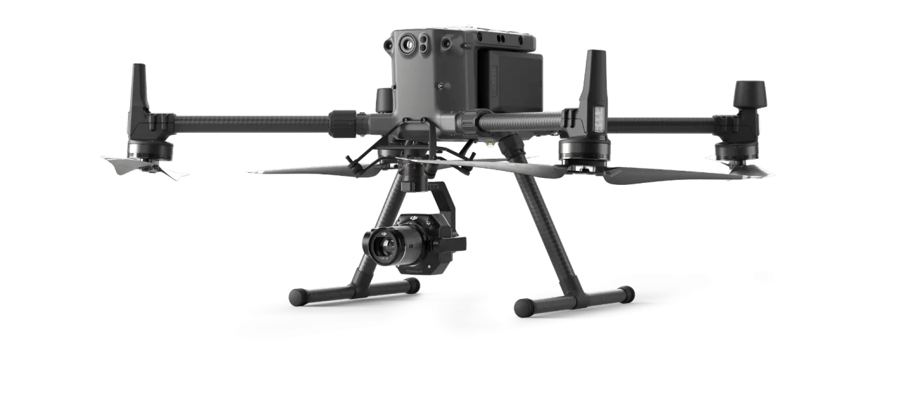
Drone Services Ireland provides commercial drone survey, inspection, and mapping services for engineers, construction professionals, and asset owners across Ireland. We operate enterprise-grade platforms including the DJI Matrice 300 RTK with Zenmuse L2 LiDAR (delivering 5 cm vertical accuracy through vegetation canopy), the Zenmuse P1 45 MP photogrammetry sensor, and the H20T multi-sensor inspection payload. Our team holds full EASA Specific Category authorisation and IAA certification for operations including complex urban environments, restricted airspace, and close-proximity structure inspections. Since 2016, we have delivered over 700 projects for clients, including construction firms, engineering consultancies, local authorities, telecoms infrastructure companies, and renewable energy developers.
Behind the Scenes

Fergal McCarthy pioneered Ireland’s commercial drone industry, founding Drone Services Ireland with nearly a decade of specialised aerial expertise. As a fully licensed IAA pilot with advanced certifications, he has led complex mapping projects nationwide, encompassing precision agriculture, construction monitoring, and high-accuracy surveys.
His client roster spans major construction firms, government agencies, and research enterprises, all drawn to his combination of technical excellence and genuine understanding of project needs. When Irish media need expert commentary on drone developments, they turn to Fergal, a testament to his authority in the industry.
The media often call upon us for features or regulatory updates. Check out our Media blog for recent features.
Renowned for uncompromising safety standards, Fergal actively shapes Ireland’s drone industry through professional forums and advocacy. Fergal currently serves as Secretary of Drone Professionals Ireland and previously held the positions of Chairman of the Irish Professional Drone Pilots Association (IPDPA) and Co-Chair of the Unmanned Aircraft Association of Ireland (UAAI). Fergal is committed to raising professional standards in Ireland’s commercial drone sector by actively participating in industry bodies and regulatory consultations.
The DSI team includes certified drone pilots with specialist experience in LiDAR surveying, photogrammetry, thermal imaging, and structural inspection.

Drone Services Ireland guarantees the Highest Levels of Safety While Delivering the Best Results
Drone Services Ireland ensures that we adhere to all relevant practices, regulations, and laws throughout our work, employing the most skilled and expert drone pilots and operators. We are passionate about the drone industry and its potential to transform businesses and lives.
Enterprise Drones and payloads for superior data capture
- Significant Cost & Time Savings
- Reduce the Risk of Accidents During High-Level Work
- Identify Potential Structural Issues Early, Preventing Accidents and Injuries
- Real-Time Monitoring
- Improved Safety
- No need for scaffolding, cherry pickers, or MEWPs on site
- Inspections in a Wide Range of Industries
FAQs
Learn more about our industry leading drone services below
Why is there no standard pricing for drone services?
We price every job individually, based on several factors, including location, airspace restrictions, and client deliverables. Not every job is the same. We strive to provide clients with options when they contact us, allowing them to determine what they need and what is nice to have. We are highly competitive with our drone service prices.
Where does Drone Services Ireland operate?
We operate in the Republic of Ireland and Northern Ireland. Although governed by a different aviation authority, we do operate in Northern Ireland. We specialise in high-density urban centres such as Dublin, Cork and Galway and are highly experienced in the challenges these environments bring.
Can I see sample deliverables before booking?
We value our clients’ privacy, so we don’t publish any content from active projects on our website or social media platforms. Samples are available on request for the different types of deliverables we provide.
How accurate are your drone surveys?
Survey-grade accuracy of +/-5 cm (XYZ) using RTK/PPK positioning verified against ground control points.
Do you have insurance for drone operations?
Yes. We carry public liability insurance for all drone operations and hold full EASA and IAA Specific Category authorisation.
How quickly can you deliver survey data?
Most projects are delivered within 2 working days of the site visit. Emergency turnaround is available.
Can you fly drones in Dublin city centre?
Yes. We hold EASA Specific Category authorisation and regularly coordinate with AirNav Ireland (Dublin ATC) for operations in the Dublin Control Zone.
Contact Drone Services Ireland Today
Contact us today for nationwide coverage across Ireland. We handle all paperwork, planning, and RAMS documentation, so you can achieve full regulatory compliance without the hassle.

SafePass-certified for construction sites, we deliver cost-effective aerial photography that accelerates your project development and keeps your team safe.

Using cutting-edge technology, we tackle complex structures that others can’t – delivering exceptional results backed by years of industry expertise.


