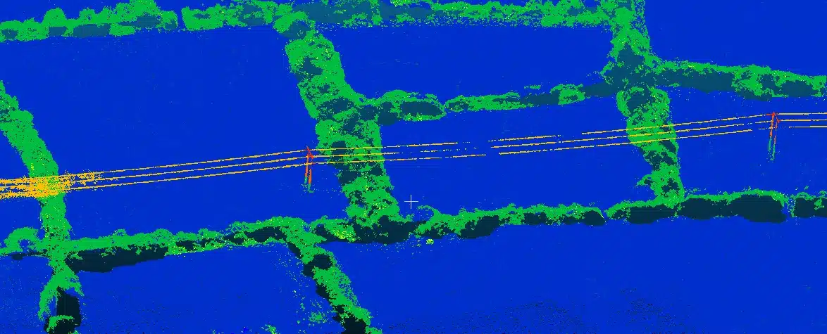
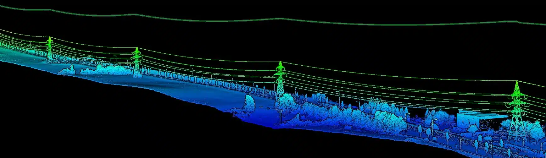
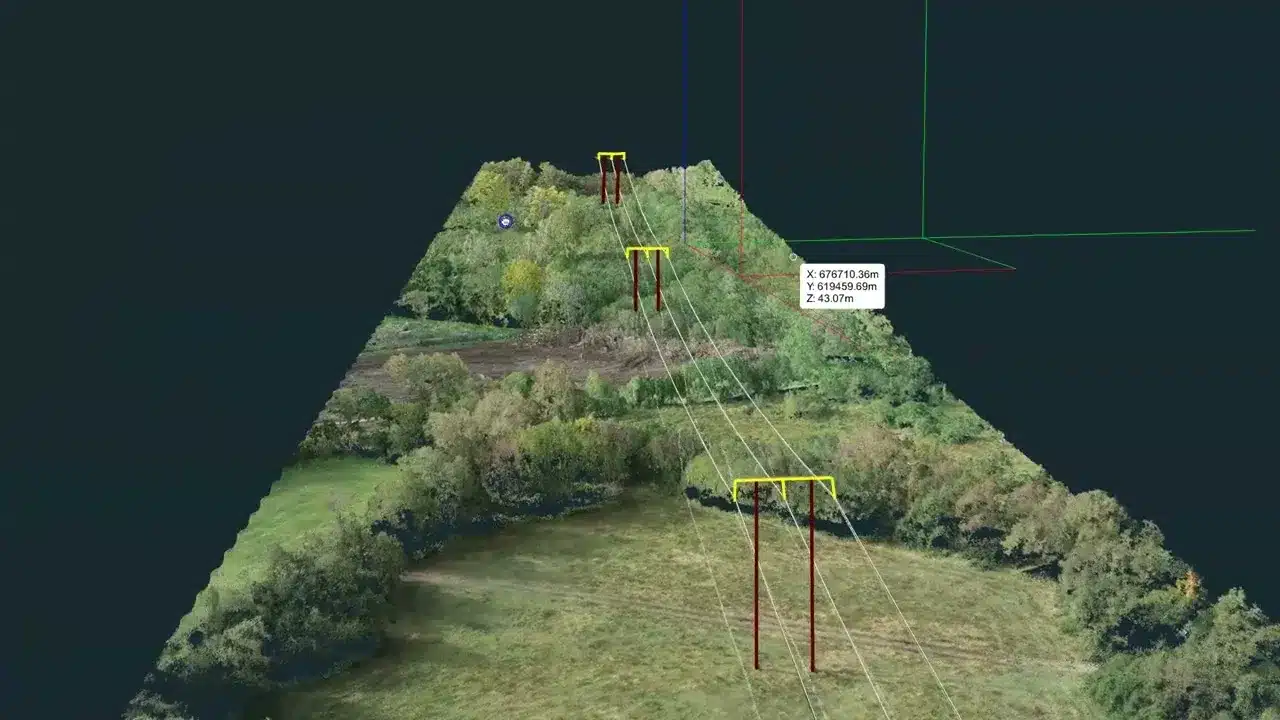
Kilometre-scale drone LiDAR mapping of overhead power lines, road and rail routes, and utility corridors – tower positions, conductor sag profiles, and ground clearance at every span, captured without setting foot on private land.
Everything a planning application, clearance assessment, or corridor design needs – delivered in the coordinate system your engineers already work in.
LAS/LAZ point cloud with ground, vegetation, and structure classes separated – 150–500+ points/m² along the corridor.
Every tower and pole surveyed in ITM (EPSG 2157) coordinates with Malin Head heights – ready for direct overlay on OSi mapping and design drawings.
Sag profile extracted for each span from the LiDAR returns on the conductors themselves – measured, not modelled.
Minimum ground clearance calculated at every span – the data planning authorities and grid operators require for OHTL clearance compliance.
LiDAR penetrates hedgerows and scrub along the route to deliver true ground levels – DTM, contours, and DXF/DWG for design.
High-resolution georeferenced imagery of the full corridor for visual context, landowner engagement, and planning documentation.
From route plan to clearance report – without access agreements, road closures, or crews under live lines.
The route is divided into flight blocks following the line or corridor, with airspace coordination and IAA authorisations handled by us. Because the survey is flown, there is no need for access agreements with the landowners along the route.
We fly the DJI M300 RTK with the Zenmuse L2 LiDAR sensor – up to 240,000 laser pulses per second with five returns per pulse – capturing conductors, towers, vegetation, and true ground level in a single pass. Photogrammetry adds the visual context layer.
The point cloud is classified into ground, vegetation, and structures. Conductor sag profiles and minimum ground clearance are extracted for every span and cross-checked against the tower positions.
Classified LAS/LAZ, bare-earth DTM, DXF/DWG, GeoTIFF orthomosaic, and the span-by-span clearance report – all in ITM (EPSG 2157) with Malin Head heights, delivered within 48 hours of the final flight.

Send us the route – a line on a map is enough – and the outputs you need. We will come back with a fixed price and methodology within 24 hours.
Surveying kilometres of live infrastructure across private land is exactly where drone LiDAR changes the economics.
| Drone LiDAR (DSI) | Traditional Ground Survey | |
|---|---|---|
| Land access | None required along the route | Access agreements with every landowner |
| Live lines | Non-contact, flown at stand-off distance | Crews working under energised conductors |
| Coverage | Continuous point cloud of the full corridor | Sampled measurements at selected spans |
| Vegetated ground | LiDAR penetrates to true ground level | Line-of-sight required; clearance work needed |
| Programme | Km-scale corridors flown in days | Extended fieldwork programme |
| Outputs | Classified cloud, DTM, sag & clearance per span, ortho | Point observations and field notes |

Any project where kilometres of linear infrastructure meet planning, design, or compliance requirements.
Drone LiDAR earns its keep on corridors from roughly a kilometre upwards, on routes crossing private land, vegetated ground, or live infrastructure – anywhere the cost of ground access, safety management, and fieldwork time dominates a traditional survey. On our 15km 220 kV / 110 kV corridor project, the alternative was access agreements with dozens of individual landowners and an extended fieldwork programme; the drone survey required no ground access at all.
If you only need a handful of accessible spans checked, or a short section with clear line-of-sight from public land, a conventional survey crew may genuinely be the cheaper option – and we will tell you so when you send us the scope. For the full picture, see our honest guide to the limitations of drone LiDAR.
Send us the route as a line on a map, the voltage or asset type, and the outputs you need (clearances, DTM, design drawings). We will confirm whether LiDAR is the right method and return a fixed price within 24 hours.
Access routes and turbine stands on the Limerick-Clare border, flown over very undulating terrain with Starlink-linked RTK corrections, live tree felling and ecological monitoring on site.
Everything you need to know about drone corridor and power line LiDAR surveys.
Tell us about your project and we’ll respond within 24 hours with a detailed quote.
No obligation, no hidden costs. Tell us about your site and we will come back with a methodology and price.