A LiDAR-only drone survey of the access routes and turbine stands on a large wind farm, flown across steep, undulating ground with satellite-linked RTK, live tree felling on site and ecological monitoring running alongside.
A survey company we work with regularly asked us to capture the access routes and turbine stands on a large wind farm on the Limerick-Clare border. In total that meant roughly 70 km of long, linear stretches across very undulating terrain: the kind of ground where every metre of level matters to the engineers designing roads, drainage and hardstands.
Three things made it harder than a standard corridor survey. Access to the site was tricky, and it was remote enough that connectivity for RTK corrections could not be taken for granted. Tree felling operations were running on site at the same time as the survey. And the ecological impact of the works was being monitored throughout, with any nesting birds found on site reported to the project team through a shared WhatsApp group.
The brief was a LiDAR-only survey. No photogrammetry was flown on this job.
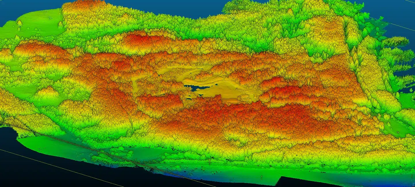
A section of the LiDAR captured on this wind farm, coloured by height from green (lower) to red (higher). The circular clearings are turbine stands, linked by access routes running through the surrounding forestry, with the rise and fall of the ground visible along every route.
An RTK drone positions itself to centimetre level by receiving a live stream of corrections while it flies. On most sites those corrections arrive over the mobile network. On a remote wind farm, deep in hill country, that link is exactly what you cannot rely on, and a dropped connection means degraded positioning on the data you are flying.
So we brought our own. A Starlink satellite terminal set up on site gave the flight team an internet connection independent of mobile coverage, and the RTK corrections ran over it to the drone.
The same setup lets us bring survey-grade RTK to any remote site where a mobile signal cannot be guaranteed.
On a remote site, RTK corrections are only as good as the internet link that carries them. Our Starlink terminal on site meant the drone received corrections reliably wherever along the routes we were flying, instead of hunting for a mobile signal on each hilltop.
Roughly 70 km of access routes and turbine stands were captured with drone LiDAR, flown as long linear corridors. On steep, broken ground with vegetation along the routes, LiDAR measures the terrain surface directly rather than relying on image matching. See our drone LiDAR survey service for how corridor capture works.
Forestry crews were felling trees on site while we surveyed. That took considerable coordination with the people on the ground so that flights, felling and access never got in each other’s way.
The ecological impact of the works was monitored throughout, and any nesting birds found on site were reported in a shared WhatsApp group. The flight team worked from those updates, so every day’s flying reflected the latest picture of what was sensitive on site.
Photogrammetry builds a surface by matching photographs, so it maps the top of whatever it can see. A LiDAR sensor fires laser pulses and times their return, and each pulse can record up to five returns: the canopy, the branches below it and, through the gaps, the ground. On a hilly site with vegetation and active felling, that difference decides the quality of the terrain model.
Multiple returns let the ground be classified separately from trees and scrub, producing a bare-earth terrain model even where routes run through or beside forestry.
Every point is a direct 3D measurement, so slopes, cuttings, banks and drainage lines along each route are captured as they are, not interpolated between photographs.
Routes are flown as continuous corridors, so long linear schemes are covered efficiently and cross-sections can be cut at any interval along each alignment.
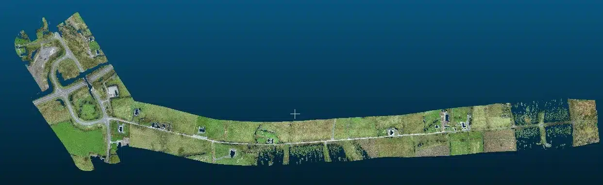
Example outputs from our LiDAR survey work on Irish sites. These illustrate the data types a survey like this produces; they are not images of this client’s site.



Deliverables are agreed with each client up front, and on jobs for survey companies they are set by that firm’s own survey and design needs. For wind farm routes, the standard LiDAR outputs we can supply are:
Drone LiDAR surveys typically start from €1,500 for smaller sites, rising to €5,000 and above for large corridor projects. See what a drone LiDAR survey costs in Ireland.

About 70 km of linear wind farm routes captured by LiDAR across very undulating terrain, the kind of extent that would take a ground crew far longer on foot.
Our own Starlink link meant RTK corrections did not depend on mobile coverage, so remote sites are surveyed to the same standard as anywhere else.
The client is a survey company that brings us in regularly. We fly and capture the LiDAR so their team can focus on the engineering survey. Read how drone surveys complement land surveyors.
Planning a wind farm, access road or long linear corridor? Corridor LiDAR surveys cover routes measured in kilometres, and renewable energy drone services cover the wider project. Request a 24-hour quote or call 087 205 2331.
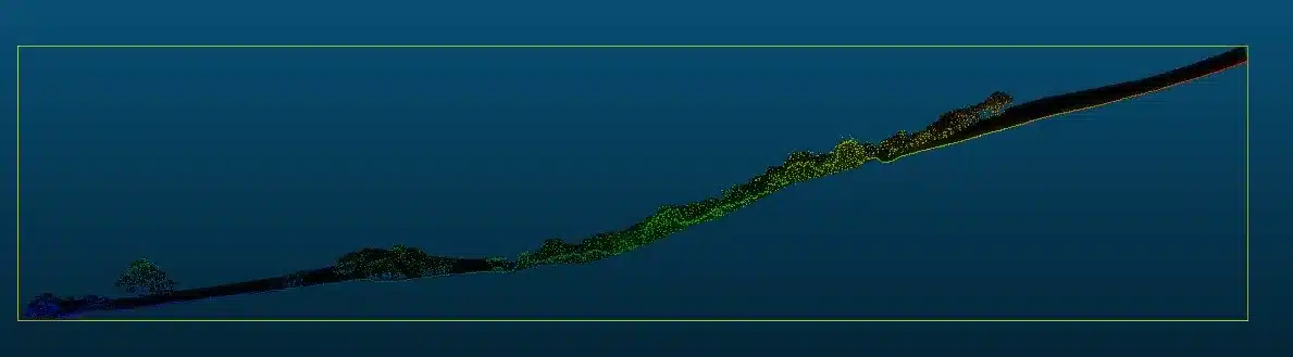
Bare-earth terrain models and classified point clouds, including through vegetation.

Long linear routes captured as continuous corridors, measured in kilometres.
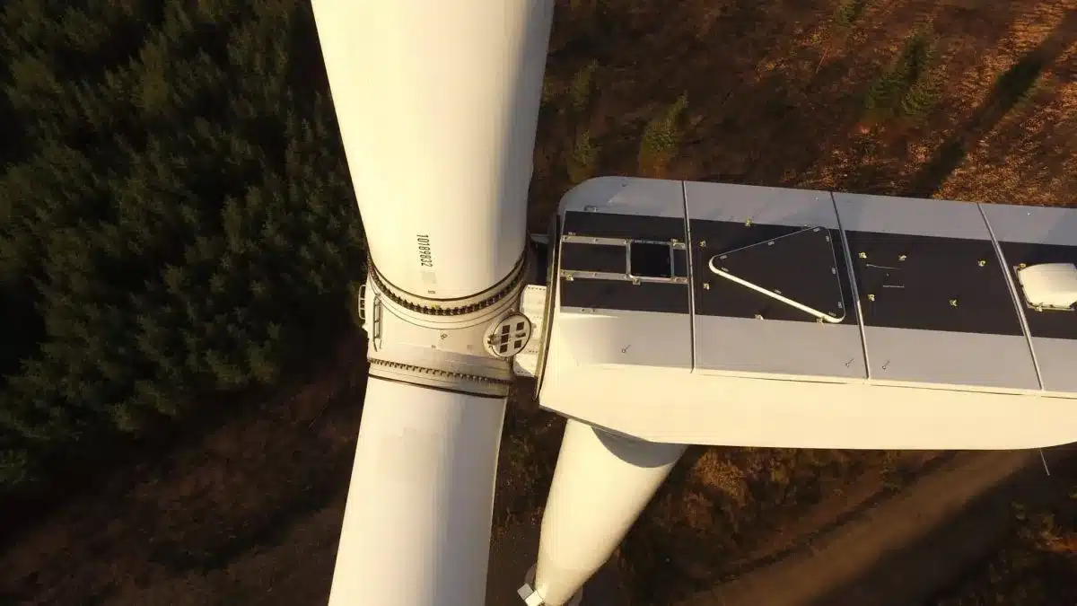
Surveys and inspections for wind and solar projects, from site design to operation.
Wind farm and remote-site LiDAR surveys.
No obligation, no hidden costs. Tell us about your site and we will come back with a methodology and price.