Drone As-Built Surveys That Verify Design vs Actual
An as-built survey documents the completed state of a construction project – capturing actual ground levels, structure positions, and installed features so they can be compared against the original design drawings. Drone capture is significantly faster than traditional ground-level methods, with deliverables back to your desk within 48 hours.
As-built survey pricing from €600
Last updated: April 2026
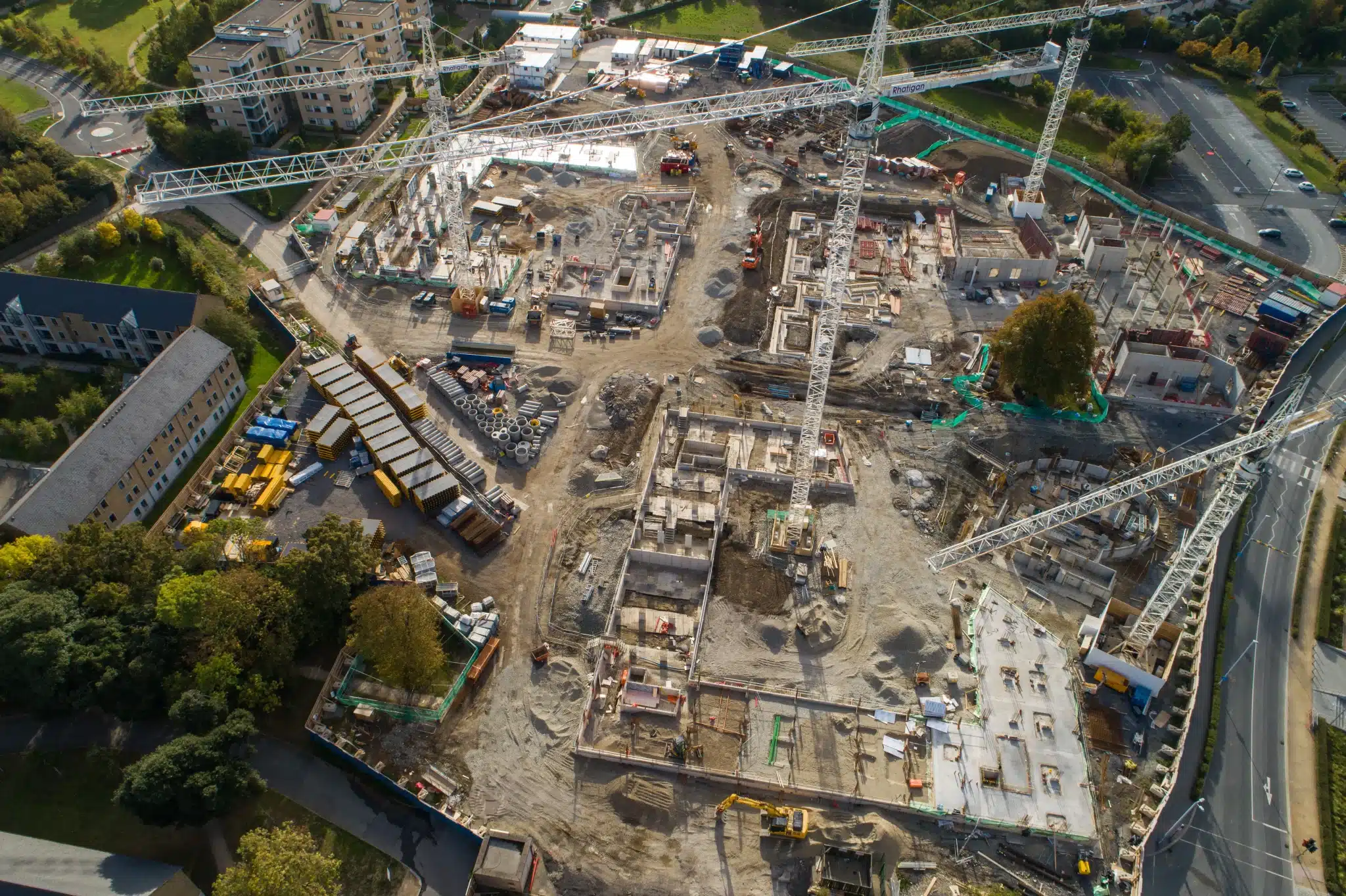
Drone as-built survey in Ireland. Centimetre-accurate (±5 cm) documentation of the completed site, with design-vs-actual deviation overlays and tolerance heatmaps for QA. From €600, delivered within 48 hours.
| Specification | Detail |
|---|---|
| Pricing | from €600 |
| Accuracy | ±5 cm |
| Deliverables | LAS/LAZ, DXF/DWG, GeoTIFF orthomosaic, design-vs-actual overlay, tolerance heatmap PDF |
| Integration | CAD / BIM QA workflow |
| Coordinate system | ITM / EPSG 2157 |
| Turnaround | 48 hours |
Key As-Built Deliverables
Documentary evidence of the finished site – surveyed, georeferenced, and ready for design comparison.
Georeferenced Orthomosaic
Full-resolution aerial map of the completed site, geotagged in Irish Transverse Mercator (ITM).
Digital Terrain Model (DTM)
Final ground-level surface for cut/fill analysis, drainage verification, and design comparison.
Final Contour Map
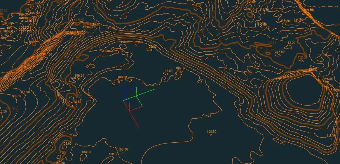
Contours at your specified interval (commonly 0.25m or 0.5m) for handover documentation.
DXF/DWG CAD Files
Layered CAD drawings ready to overlay against your design model in AutoCAD or Civil 3D.
Deviation Report
Annotated report flagging any deviation between actual and design beyond your defined tolerance.
ITM / EPSG 2157
All data referenced to Irish Transverse Mercator with Malin Head height datum – OS Ireland-aligned.
As-Built Surveys In Action
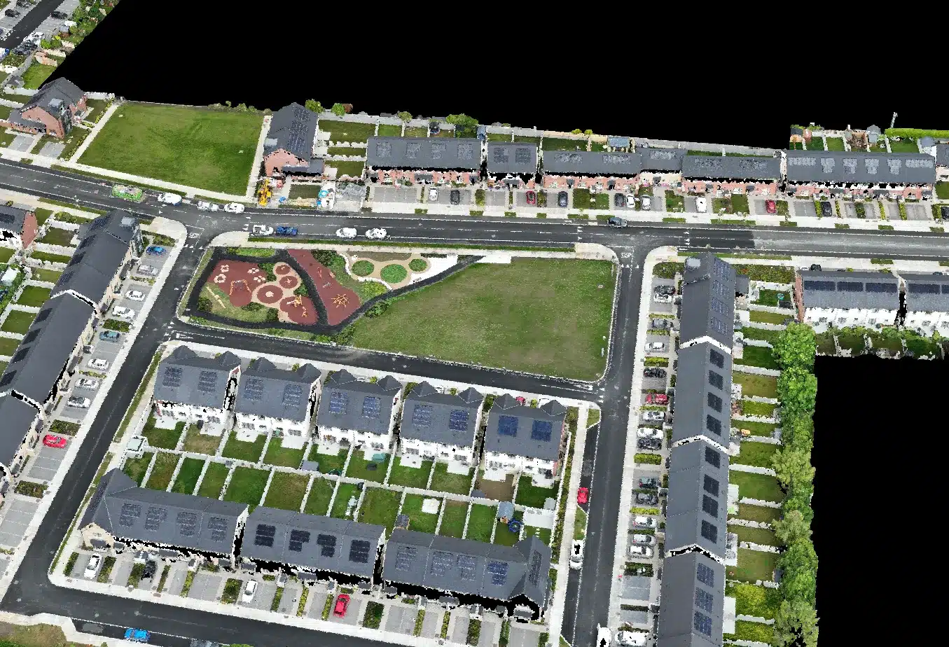
Completed sites captured from above, design vs actual comparison, and verified handover documentation.

Need to Verify a Completed Site?
Send us your site boundary and design surface, and we’ll deliver a fixed-price as-built survey with deviation report inside two working days.
How an As-Built Survey Works
Same survey-grade methodology used for engineering design surveys – turned around in days, not weeks.
Pre-Flight Site Walkthrough
We confirm what has been constructed against the design drawings, identify access constraints, and plan a flight path that captures every relevant feature. For sites with overhead constraints (cranes, scaffolding, neighbouring buildings) we plan around them in advance.
GCP Network & Aerial Capture
A network of ground control points is established with the Emlid RS3 GNSS receiver, NRTK-corrected via OSi’s GEONET. The DJI Matrice 300 RTK with the Zenmuse P1 45MP camera flies a planned grid at 1.5–2.5cm/pixel ground resolution.
Photogrammetric Processing
Imagery is processed in DJI Terra and Pix4D to produce a dense point cloud, DTM, and orthomosaic. Ground control points anchor the model to ITM coordinates, achieving ±2–3cm horizontal and ±4–5cm vertical accuracy.
CAD Comparison & Deviation Report
The as-built surface is overlaid against your design surface in CAD. Deviations beyond your tolerance are flagged in a written report. Final deliverables are issued in DXF/DWG, GeoTIFF, and PDF – all in ITM with Malin Head datum heights.
When a Drone As-Built Survey Is Used
Drone as-built surveys give you a definitive aerial record of the finished site – for handover, sign-off, planning compliance, or insurance.
A drone as-built captures the as-built state of the site with the same survey-grade accuracy as a traditional ground survey, in a fraction of the time. Below is what you receive in every package, and the situations where this approach works best.
What you receive:
- Georeferenced orthomosaic of the completed site
- DTM capturing final ground levels
- Contours at your specified interval
- DXF/DWG files for CAD comparison against design drawings
- Flagged deviations in survey report
- All data in ITM with Malin Head datum heights
When a drone as-built survey is used:
- Earthworks completion – verifying cut/fill volumes and final ground levels against design
- Road and drainage infrastructure sign-off before adoption or handover
- Residential and commercial estate completion surveys for taking-in-charge applications
- Solar farm and renewable energy site completion verification
- Utility installation confirmation – confirming installed depths and positions where visible
- Client handover documentation with a permanent aerial record of completed works
Drone As-Built vs Traditional Walked As-Built
Both deliver engineering-grade completion records. The difference is what each captures, how long it takes, and where each is the right tool.
| Drone As-Built (DSI) | Traditional Walked As-Built | |
|---|---|---|
| 5-hectare site capture | Half-day (with GCP setup) | 3–5 days |
| Surface coverage | Full continuous surface, millions of points | Spot levels at predetermined intervals |
| Design-vs-actual comparison | Across entire site surface | Sample points only |
| Vegetation penetration | LiDAR option for bare-earth | Manual clearance + sightlines required |
| Coordinate system | EPSG 2157 / Malin Head datum | EPSG 2157 / Malin Head datum |
| Vertical accuracy | ±4–5cm with GCPs | ±5–10mm point-to-point |
| Site access required | Minimal – drone can work from outside live areas | Full traverse across the site |
| Best for | Site-wide handover, road/drainage adoption, taking-in-charge | Drainage invert levels, structural setting-out, sub-mm tolerances |
Drone as-built is not a replacement for chartered-surveyor sign-off where Land Registry-grade legal records are required. For most road/drainage adoption, residential taking-in-charge, and earthworks completion verification, the drone as-built provides the level of evidence local authorities and clients accept – captured in a single morning rather than a working week.
When a Drone As-Built ISN’T the Right Tool
A drone as-built captures the visible surface state of a completed site. It is not a replacement for every type of completion survey. For each of the items below, a different instrument or specialist is the right call.
Drainage invert levels. Manhole covers must be lifted and the invert physically measured. Drone data shows surface levels only.
Sub-millimetre structural deformation. Use a robotic total station or precise levelling. Drone vertical tolerance is ±4–5cm; structural deformation work needs ±5mm or better.
Internal building floor plans. Drone surveys capture exterior only. Interiors need a measured building survey or a terrestrial laser scanner.
Below-ground utilities. Gas, water, fibre, and power need Ground Penetrating Radar (GPR) or a utility mapping survey – the drone sees only what’s visible.
Legal boundary determination. Land Registry-compliant boundaries require a chartered surveyor’s certified output.
Our Recommendation
Use the drone as-built as the site-wide record. Supplement with targeted traditional measurements for the items above. The drone data tells your engineering team where to focus their on-foot work, which makes the supplementary survey faster and more focused.
What an As-Built Delivers
Indicative outputs from a drone as-built – all geo-referenced and design-comparison-ready.


Who Uses Drone As-Built Surveys?
Developers, contractors, local authorities, and asset managers across Ireland rely on drone as-builts for handover and compliance.
Earthworks Verification
Road & Drainage Adoption
Residential Taking-in-Charge
Solar Farm Sign-off
Utility Installation
Client Handover Records
Frequently Asked Questions
Everything you need to know about our drone as-built survey service.
Request a 24-Hour Quote
Tell us about your project and we’ll respond within 24 hours with a detailed quote.
How we capture: Drone As-Built Surveys
Reality capture for handover, taking-in-charge applications, and design-vs-actual verification. RTK-corrected photogrammetry delivers orthomosaics, DTM/DSM, and 3D mesh with ±5cm accuracy on the OSGM15 datum. All coordinates in Irish Transverse Mercator - directly compatible with Irish planning authorities, Local Authority Building Control, and IFC/RVT BIM export. Typical turnaround: 48 hours from capture to deliverable.
As-built surveys flown by Fergal McCarthy under EASA Specific Category approvals. Drone Services Ireland is operating commercially since 2016 across all 32 counties.