Aerial survey and photogrammetric recording of historic structures, archaeological sites, and built heritage. Detailed 3D models, orthomosaics, and condition records for conservation management, planning, and Built Heritage Investment Scheme documentation.
Survey pricing from €600
Last updated: April 2026

Conservation-grade survey outputs for planning applications, BHIS documentation, conservation management plans, and architectural records.
High-density 3D mesh model of the structure derived from overlapping aerial and oblique imagery. Suitable for condition assessment, change monitoring, and publication.
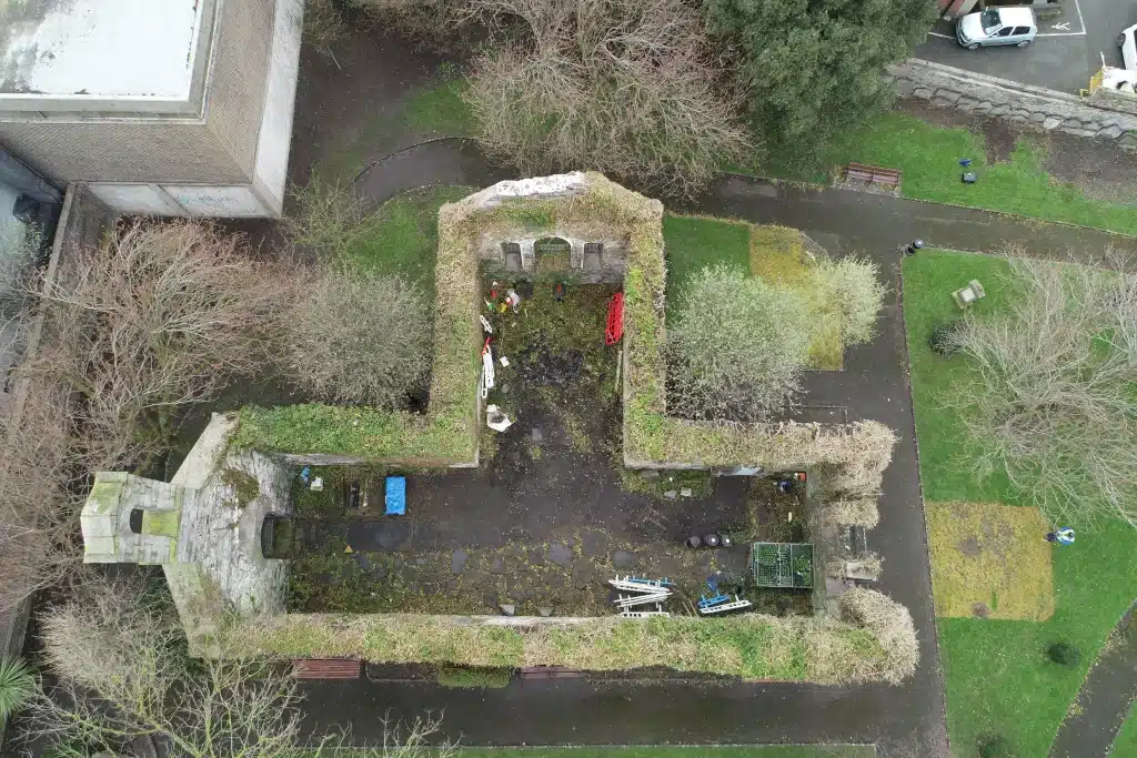
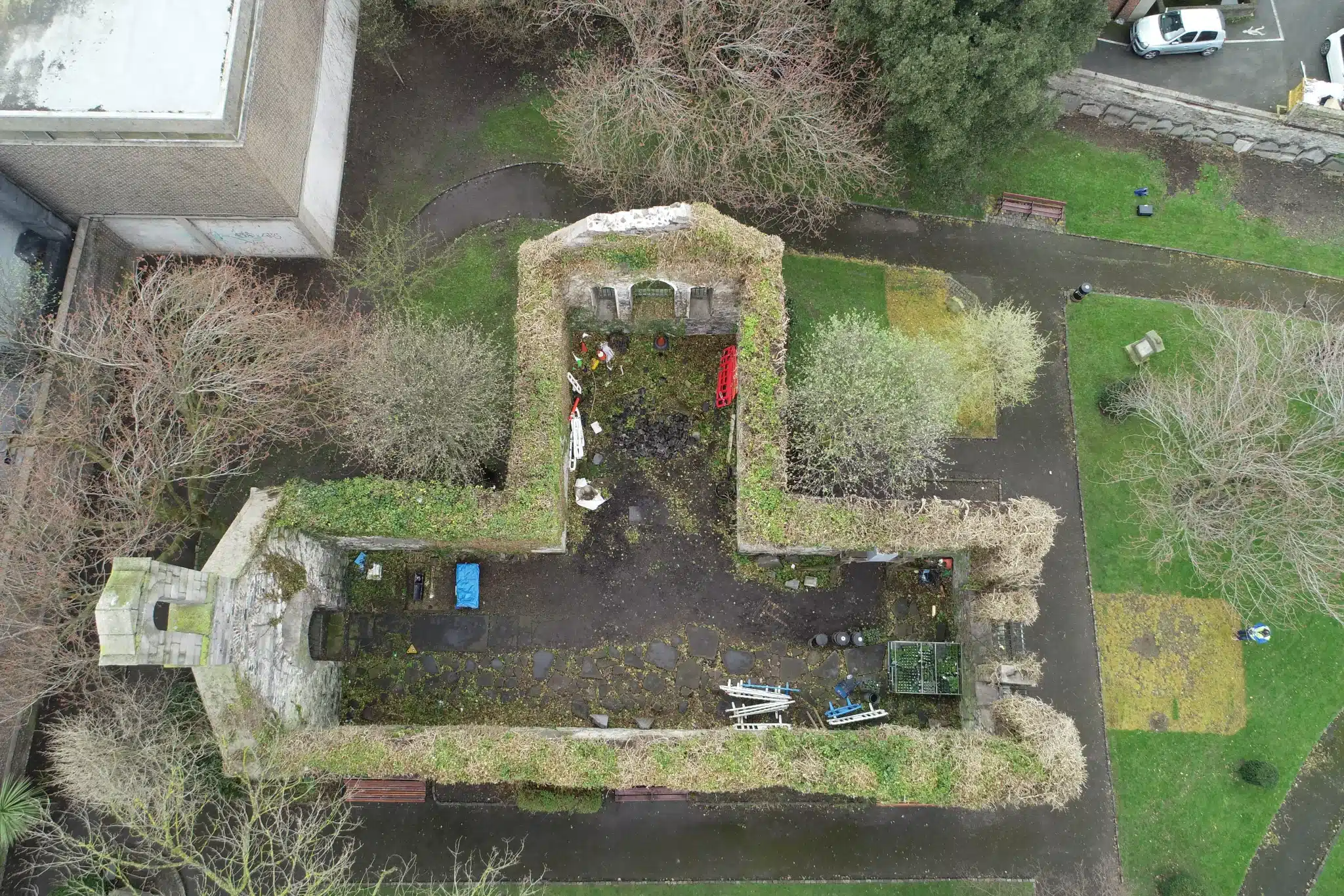
Plan-view aerial map of the site georeferenced to ITM coordinates, suitable for overlaying on OS maps, site plans, and planning submissions.
Illustrated written record of the structure’s current condition, identifying areas of deterioration, vegetation growth, water ingress, and structural concern for conservation management planning.
Full library of high-resolution aerial and oblique photographs providing a permanent photographic record of the structure as surveyed – suitable for publication and archive submission.
Accurate elevation drawings of facades and standing structures extracted from the 3D model – reducing the need for scaffolding-based measured survey work.
Survey records formatted for Built Heritage Investment Scheme applications, conservation planning conditions, and National Monuments Service submissions.
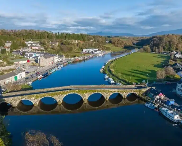
We record national monuments, protected structures, vernacular buildings, and industrial heritage. Aerial survey captures what ground-based methods cannot – the full context, scale, and condition of a heritage asset in a single visit.
Rigorous photogrammetric methodology producing conservation-grade records in a single site visit – without scaffolding or access equipment.
We review existing record drawings, RPS listings, National Monuments registration, and any available archival material before arrival. Flight planning accounts for the structure’s geometry – for complex multi-element sites like abbeys or castle complexes we plan separate flight zones to ensure complete coverage of all standing fabric.
The drone captures systematic overlapping nadir (plan) imagery for orthomosaic production plus oblique passes at multiple angles and altitudes to capture wall faces, architectural detail, and structural relationships. For 3D modelling we use a minimum 80% overlap in all directions to ensure complete coverage of all surfaces including reveals, openings, and recesses.
Imagery is processed through photogrammetric software to generate a dense point cloud, 3D mesh, and georeferenced orthomosaic. The 3D model is scaled and georeferenced using either GCPs or the drone’s RTK positioning. Elevation drawings and cross-sections are extracted from the model, eliminating the need for traditional scaffold-based measured survey.
The completed heritage record includes the condition report, photographic archive, 3D model files (OBJ/E57/LAZ), georeferenced orthomosaic, and any required elevation drawings. All outputs are delivered within 48 hours. We work with the client’s conservation architect or heritage consultant to ensure the format meets their specific submission requirements.
From aerial orthomosaics of abbey ruins to photogrammetric 3D models of historic structures – delivered in conservation-grade formats for archive and planning submissions.


3D documentation, photogrammetric surveys, and aerial recording of historic structures.


Rigorous photogrammetric methodology, EASA certification, and experience recording Ireland’s built heritage.
Everything you need to know about our drone heritage recording service.
Tell us about your project and we’ll respond within 24 hours with a detailed quote.
No obligation, no hidden costs. Tell us about your site and we will come back with a methodology and price.