EASA-Certified
·
500+ Projects
·
2-Day Turnaround
Traffic Monitoring – Multi-Drone Operation

Seven Aircraft, One 45-Minute Window, One Attempt

In October 2018, DSI flew seven drones simultaneously over Galway’s junctions for Arup, acting on behalf of Galway County Council: the largest simultaneous drone traffic monitoring survey completed in Ireland.

7
Drones Airborne at Once
7
Junctions, One Morning Peak
210 min
Synchronised Footage
45 min
One Window, No Retake
Client: Arup, for Galway County Council Location: Galway city Sector: Transport & public realm Status: Flown October 2018

Every Junction, the Same Morning Peak

Arup, acting on behalf of Galway County Council, needed junction traffic data from across Galway. The engineering requirement was the hard part: the junctions had to be captured simultaneously, in the same morning peak, under the same conditions. Traffic flows through a junction network interact – survey the junctions on different days and the counts stop being comparable.

That meant seven aircraft, seven qualified pilots, and seven cameras rolling in the same 45-minute window: the 08:15 to 09:00 morning peak. No second attempt within the same conditions – the peak happens once per morning.

In October 2018 DSI flew it: seven junctions covered in a single morning peak, 210 minutes of synchronised, analysis-ready footage from one 45-minute window.

  • Client: Arup, for Galway County Council
  • Seven drones simultaneously, one junction each
  • 08:15-09:00 AM peak capture window
  • 30 minutes of time-stamped footage per junction
  • 4K at 25fps, fixed white balance on every camera
  • A qualified pilot on every aircraft
THE SEVEN JUNCTIONS One aircraft over each, 08:15 to 09:00 GALWAY BAY CITY CENTRE Clybaun Rd Fort Lorenzo Letteragh Westside Ballybrit Doughiska Roscam
The seven junction positions, from Galway’s west side to the N6 eastern corridor. Layout indicative, based on the 2018 flight plan.

Seven Aircraft, One Coordinated Operation

01

Position for the Junction, Not Over It

Each aircraft was set back from its junction rather than hovering overhead, holding at 50m with the camera angled to take in the whole junction and its approaches in a single frame. The set-back oblique view captures every arm of the junction at once – the geometry a traffic analyst actually needs.

02

Camera Discipline Across Seven Aircraft

Every camera recorded 4K at 25fps with a standard colour profile and a fixed white balance chosen for the morning’s conditions. Seven different aircraft, one consistent look – so footage from any junction reads identically in analysis. Every frame carried a time-stamp, letting movements at different junctions be cross-referenced on a common clock.

03

The Same 45 Minutes, Everywhere

All seven aircraft flew the same 08:15 to 09:00 morning peak window, capturing 30 minutes of usable footage per junction inside it. That simultaneity is the whole value of the dataset: every junction observed under identical network conditions, something staggered surveys on different mornings cannot provide.

04

The Regulatory Layer, Then and Now

The operation was flown in October 2018 under the IAA’s national regulations then in force, before the EASA framework existed, with a qualified pilot on every aircraft. Flown today, the same operation would run under EASA Specific Category authorisations – the framework DSI operates under across Ireland. See our guide to drone licensing in Ireland for how the rules have evolved.

What One Morning Over Galway Delivered

Stronger If Flown Today

The 2018 operation ran under the IAA’s national rules with the aircraft of the day. A 2026 re-run flies under EASA Specific Category authorisations with DSI’s current M300 RTK and Matrice 4 Enterprise fleet: longer endurance, longer windows, more junctions if the network needs them.

The Whole Peak, Captured Once

30 minutes of footage per junction from the same 08:15-09:00 window: every junction observed under identical conditions, directly comparable across the network.

Analysis-Ready Footage

Time-stamped 4K at 25fps with consistent colour across all seven cameras – turning movements and queues countable straight from the footage, junction to junction.

There is a longer arc to this story: the survey formed part of the work highlighting the congestion Galway’s junction network carries – congestion that, only in 2026, saw the approval of the city’s outer ring road. Junction data captured in one morning can end up shaping infrastructure decided years later.

Planning a junction network study or a repeat of a multi-junction survey? Drone traffic monitoring covers single junctions to coordinated multi-aircraft operations. Request a 24-hour quote or call 087 205 2331.

Services Used in This Project

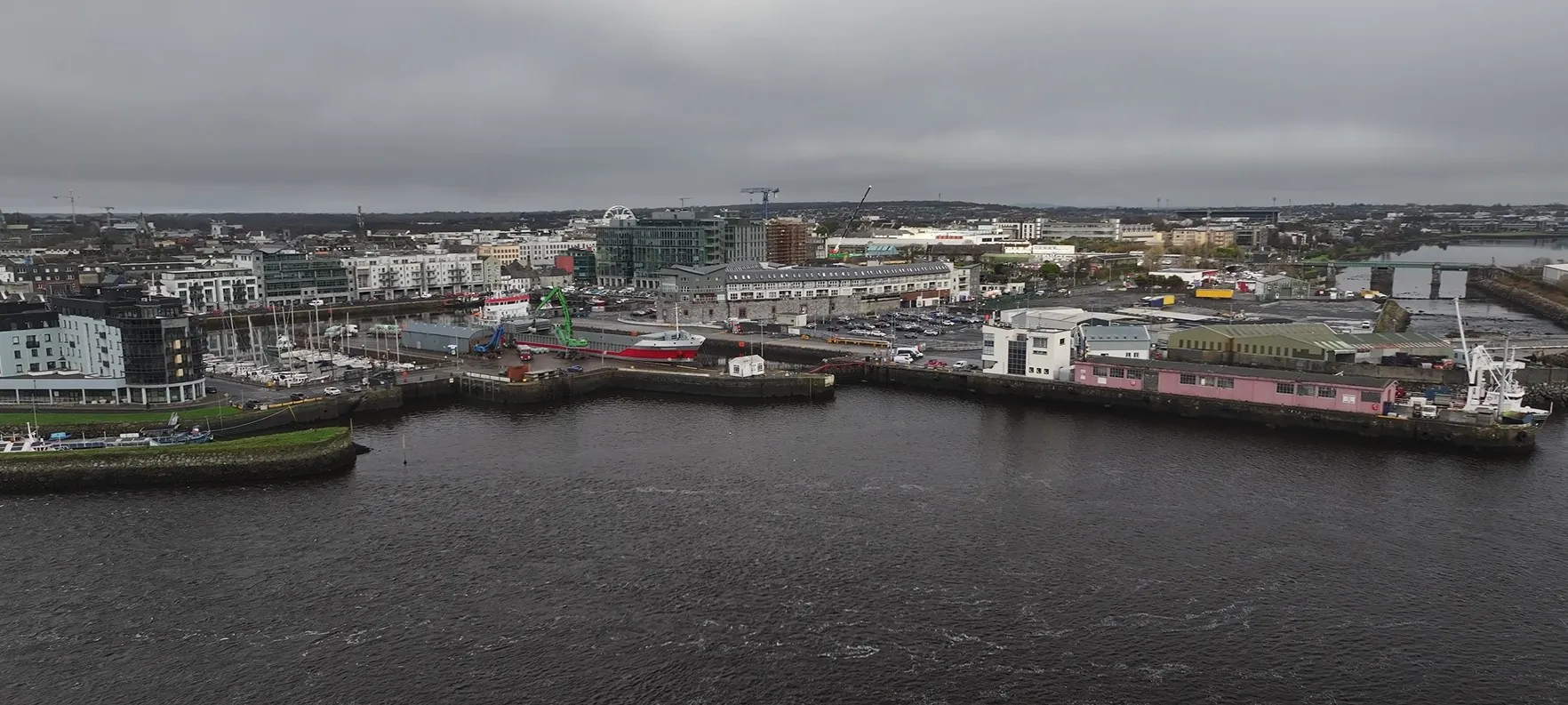
Aerial photograph of Galway city and its docks

Drone Traffic Monitoring

Junction counts, queue analysis and network studies from time-stamped aerial video, single junctions to multi-aircraft operations.
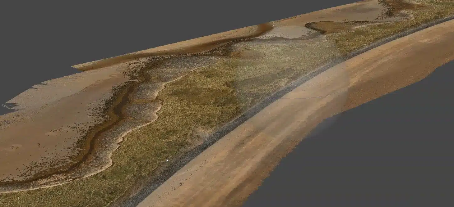
Coastal erosion monitoring survey for a local authority

Drones for Local Authorities

Survey, monitoring and inspection programmes for councils and their consultants, procurement-ready across all 32 counties.

Aerial photograph of the Connemara coastline, Co. Galway

Drone Surveys in Galway

Surveying, mapping and inspection services delivered across Galway city and county.

Get a Fixed-Price Quote Within 24 Hours

No obligation, no hidden costs. Tell us about your site and we will come back with a methodology and price.

Fixed pricing, no surprises
We handle all permissions
Deliverables in 2 days
Call Now Get a Quote